
3D-MODELING YOUR PROJECT SITE
Original Presentation Date: January 20th, 2021
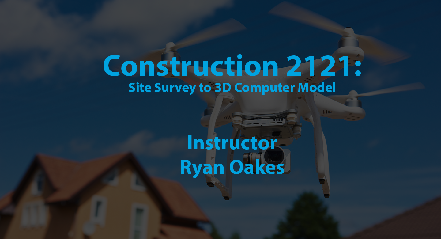
A site survey is most helpful when the data can be used to build an accurate 3D model in a computer to be used for both planning and detailed design, engineering, and construction. This webinar introduces the workflow from data acquisition in the field to computer modeling for initial concept planning. Various tools are reviewed including a total station, 3D scanning, laser levels and drones.
1:00 hour -Watershape University is authorized by IACET to offer 0.1 CEUs for this program.
CEUs are awarded for successfully logging completion of this webinar through the course curriculum page after viewing the lecture. Further instructions for registering your completion of this course are posted on the course curriculum page below the webinar recording.
LEARNING OUTCOMES
- Explain the value of a topographical survey.
- List common tools for survey data acquisition including a total station, drone images and 3D scanning.
- Discuss workflow from data acquisition to Computer Aided Drafting (CAD) or 3D modeling.
- Discuss how to design using a CAD or 3D computer model.
A free Wolfpack Webinar
This course is part of our Weekly Wolfpack Webinar series, conducted live every Wednesday at 3pm Eastern/Noon Pacific, and archived as a recording shortly after the live session concludes.